FRIENDS OF SCARBOROUGH MARSH
  • Home
  • News
  • About
  • VISIT
    • Photo Gallery
    • Gervais marsh tower
    • Blue Point Preserve
    • Audubon Marsh Center
    • Map of Scarborough Marsh
    • Tide Chart
    • Virtual Tour of the Marsh
  • EDUCATION
    • Lectures
    • Virtual Tour of the Marsh
    • Healthy Yards and Marsh
    • Treasure
    • Phragmites
  • PROJECTS
    • Project News
    • Our Work
    • Conservation
    • Restoration

conservation Project news

Normandeau Final Phragmites Report

10/30/2020

 
Picture
In 2019 FOSM worked with partners to develop a strategy and secure funding for implementing the report recommendations. Learn more about fighting Phragmites, and what the results of months of testing have provided us by clicking the file below! Thank you to Normandeau Associates, Inc for helping FOSM with the testing, and pulling of this report. Learn More...

STREAM CROSSING SURVEY OF THE SCARBOROUGH MARSH WATERSHED

11/20/2017

 
Picture
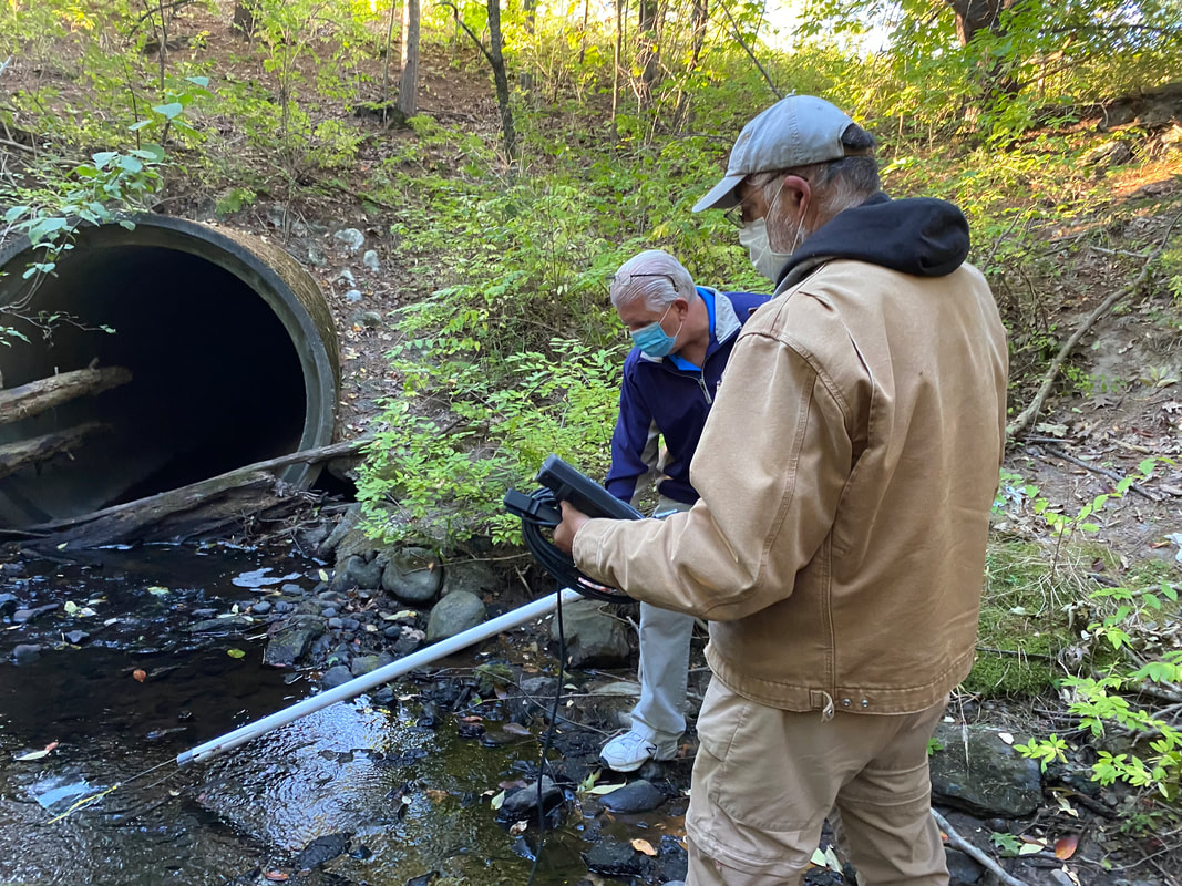
 This survey was put together by Friends of Scarborough Marsh board member Steve Pinette. The compiled data from this report will be used by the Friends of Scarborough Marsh to help guide future efforts related to safeguarding and improving the ecologic health of the Marsh. Learn more...

Fact sheet: A RESOURCE TO TREASURE

5/6/2014

 
10 Things YOU Can Do for Scarborough Marsh   
Scarborough Marsh: A Resource to Treasure
>>PDF version
>>PDF Version
Scarborough Marsh: Focus Areas of Statewide Ecological Significance (Beginning With Habitat)
Tidal marshes form in low-lying coastal areas that are sheltered from strong winds, waves, and currents. Nourished by tidal flows and with rapidly growing grasses, salt marshes form the basis of a highly productive food web. They are complex natural systems which support different plants and animals in a variety of habitats. In addition to nourishing many species of birds, finfish, shellfish, and invertebrates, marshes buffer upland shorelines against erosive actions of open water, protect low-lying uplands and shorelines during storms, and maintain water quality.

Fact sheet: Phragmites (Common Reed)

5/5/2014

 
Fact Sheet 1 (Maine Cooperative Extension)

Fact Sheet 2 (USFWS)

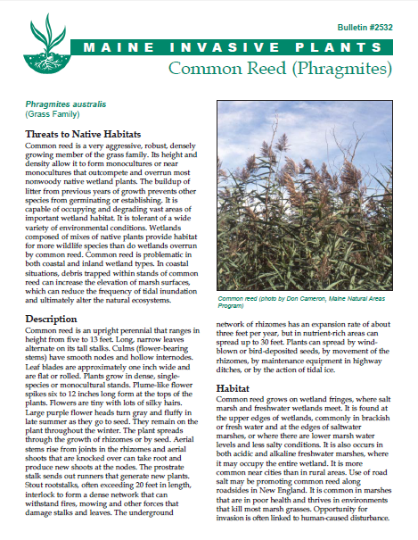
Phragmites is a perennial and aggressive wetland grass that grows over 10 feet tall and is easily recognized by its height and fluffy seed heads. Phragmites have very little value to the diverse populations of wildlife in the marsh. Their thick growth and rapid spread choke out valuable plants and reduce the biodiversity of the marsh's delicate and highly- valued ecosystem.

Picture

Maine's salt marshes RESOURCE GUIDE

5/5/2014

 
Maine's Salt Marshes: Their Functions, Values, and Restoration (Gulf of Maine Council)
This guide looks at key questions: What Are Salt Marshes? Who Needs Salt Marshes? Why Are Many Salt Marshes in Trouble? What Can Be Done to Improve Degraded Salt Marshes? Plus offers resources for further inquiry and a useful glossary.
You might also like to see why we think the marsh is a treasure.
Picture

NRDC Water Quality Report

5/8/2013

 
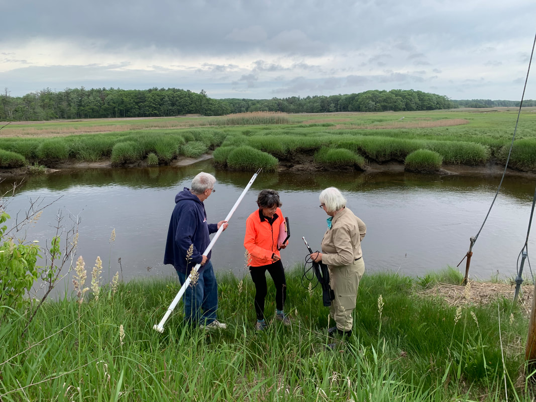
A report released in July 2013 by the National Resources Defense Council showing that in 2012 Scarborough’s Ferry Beach tied for 5th place (out of 60) in Maine’s most contaminated beaches. Also at about that time, FOSM partnered with the University of New England to collect and analyze data gathered at the Mill Brook area of the marsh. The study  found water quality to be good overall, with one major exception: coliform bacteria rated as poor at all four sampling sites during almost every month of the study period. High coliform bacteria levels are the primary reason for closing clam flats.  

FSM Financials - Form 990

5/1/2013

 
Friends of Scarborough Marsh is a 501(c)3 nonprofit organization. Our EIN is 01-0534850. Please visit the Foundation Center to view our latest 990 financial forms on file with the IRS.

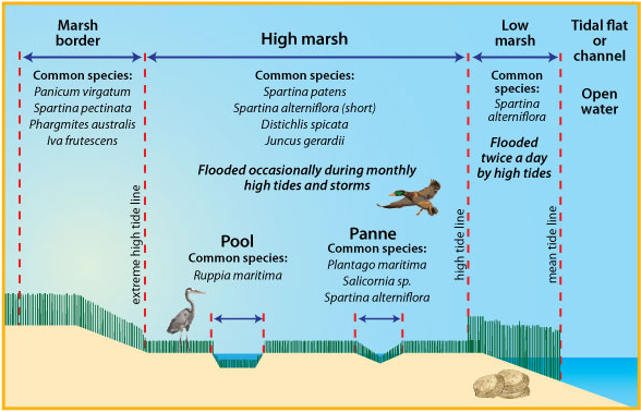
Salt Marsh Vegetation ZONES

5/9/2012

 
With thanks to Maine Sea Grant program for this image; please visit their site for more info.
Picture

MAPS

5/6/2012

 
Base Map, Scarborough Marsh Strategic Plan (2002)

Scarborough Marsh Watershed (Maine Audubon, 1999)

Map of Conserved Lands, Scarborough, Maine

Scarborough Marsh Drainage Areas
Picture
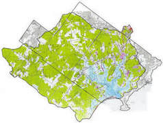
Aerial View of the Scarborough Marsh (with restoration project sites)

The Need for Restoration

5/6/2012

 
Scarborough Marsh: The Need for Restoration  
Protection & Restoration Strategy for the Scarborough Marsh Watershed (Prepared for Friends of Scarborough Marsh by Normandeau Associates, Inc. and Terence J. Dewan & Associates. 2002)
The Scarborough Marsh: Historical Impacts, Current Conditions, and Restoration Potential (Maine Audubon. 1999)   This is the report that started it all! Shortly after the publication of Maine Audubon's report in 1999, a small group of concerned citizens and representatives from partner groups took the first steps to form the Friends of Scarborough Marsh.
Flooding and Erosion of Maine's Coastal Wetlands (Maine Sea Grant)
<<Previous

    REPORTS, UPDATES, STUdies, & MAPS

    A library of reports and resources.

    Picture

    BROWSE BY Categories

    All
    Fact Sheets
    FSM Progress Reports
    INDEX
    Maps
    Restoration
    Salt Marshes
    Water Quality
    Wildlife

    BROWSE BY DATE

    October 2020
    November 2017
    May 2014
    May 2013
    May 2012
    May 2010
    May 2009
    November 2008
    May 2008
    May 2007
    May 2006
    May 2004
    May 2002
    May 2001
    May 2000
    May 1999

    RSS Feed

Picture
DONATE

Volunteer

About  

 Contact

       KEEP IN TOUCH:
© COPYRIGHT 2015. ALL RIGHTS RESERVED.